Description
SnMap raster chart offer is derived from data provided by the SHOM, UKHO, I.I.M (Italian coasts) and BSH (German coasts).
Only compatible from Version 12.
Delivery within 2 working days.
Charts updates are available once to twice a year.
Although the look is similar, they are not scanned from paper charts, but issued from the printing films, which eliminates manipulation errors, and facilitates regular updates.
List of the chart packs available:
- Channel Sea French coasts
- Atlantic French coasts
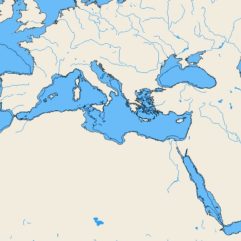
- Mediterranean French coasts
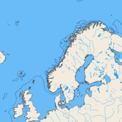
- United Kingdom + Ireland
- Belgium + Netherlands
- Germany
- Spain + Portugal
- Italy
- Croatia
- East Atlantic Islands (Azores, Madeira, Canary Islands and Cape Verde)
- Lesser Antilles (From Trinidad to Puerto Rico)