Description
Vectorial charts work with several layers displayed according to the zoom. The more you zoom in, the more details you get. With Adrena, you get a control window of the different layers you want to display. When purchasing a CMAP chart, you receive a specific DVD covering your area. You get the NT/PC Selector interface to install your chart.
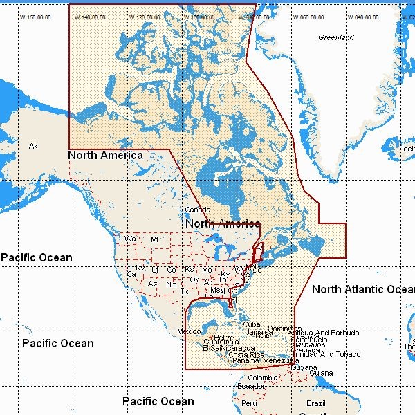
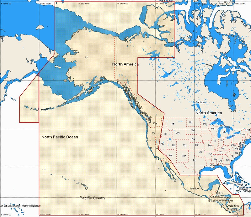
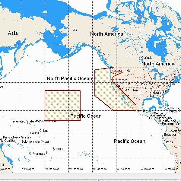
Charts folios available:
- MW17 / NA-M033 – ATL. COAST, GULF OF MEXICO & CARIBBEAN
- MW21 / NA-M035 – PACIFIC COAST AND CENTRAL AMERICA
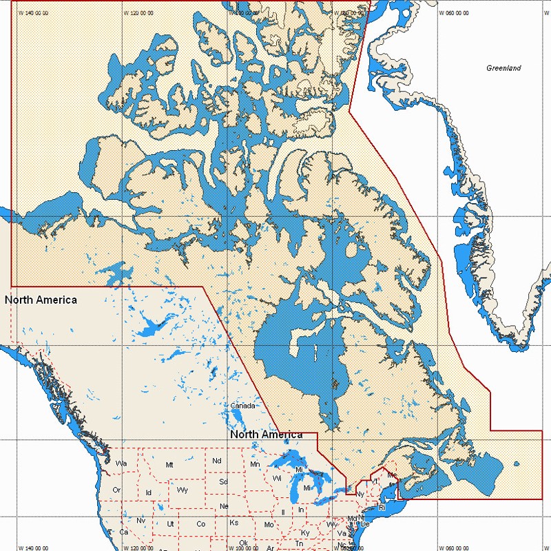
- W / NA-M021 – CANADA NORTH AND EAST
- W / NA-M022 – USA EAST COAST AND BAHAMAS
- W / NA-M023 – GULF OF MEXICO, GREAT LAKES RIVERS
- W / NA-M024 – USA WEST COAST AND HAWAII
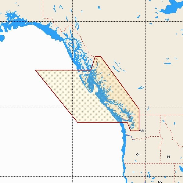
- W / NA-M025 – CANADA WEST INCLUDING PUGET SOUND
- W / NA-M026 – GREAT LAKES, NORTH EAST COAST APPR.
- W / NA-M027 – CENTRAL AMERICA AND CARIBBEAN
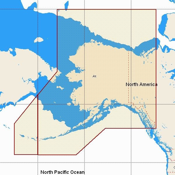
- W / NA-M028 – ALASKA