Navigation Assistance
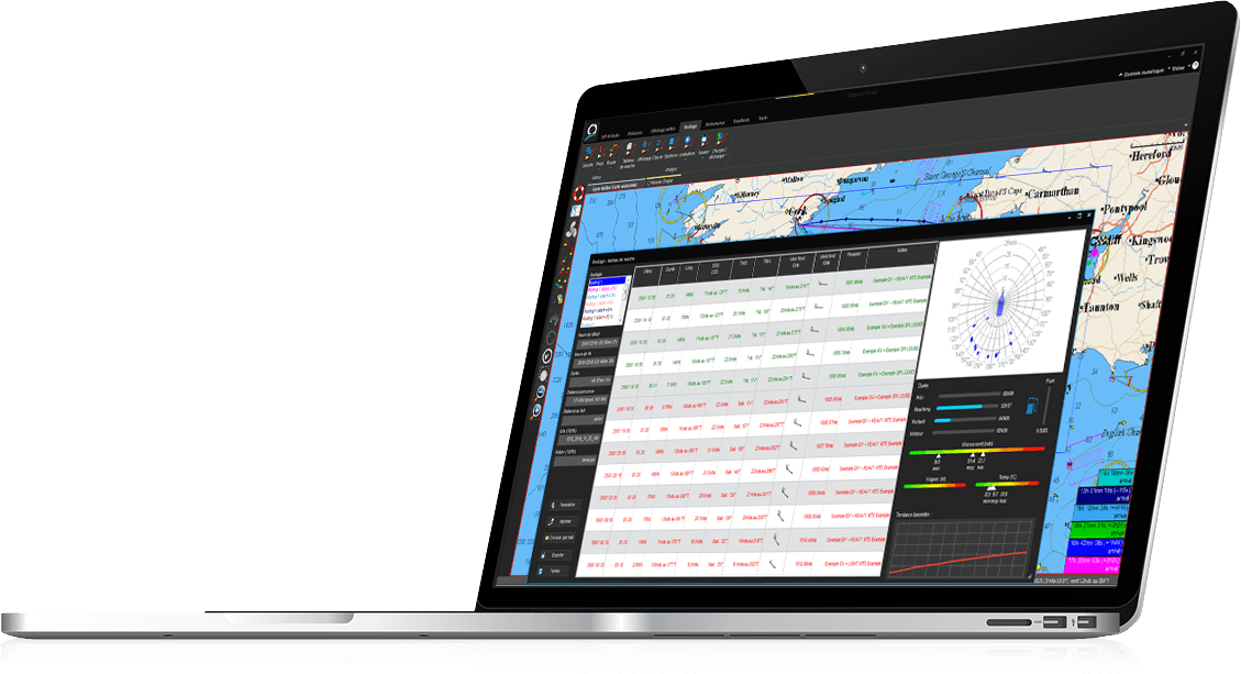
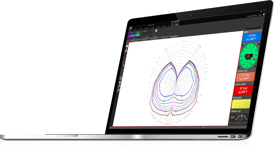
Octopus navigation software provides routing calculation according to your preferences - whether you are looking for the fastest route, the most comfortable or the most economical in terms of fuel consumption. The routing analysis module allows you to choose the optimum route with the best compromise between speed, security, comfort, fuel consumption and time of arrival.
Mooring
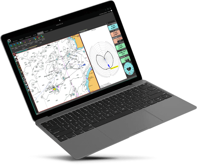
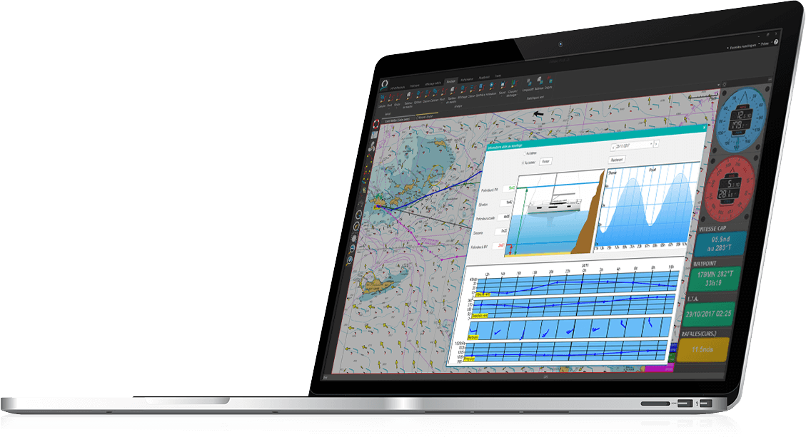
The mooring assistance module provides a graphical display of the conditions to be expected on the chosen mooring area: weather forecast, sea level according to the tide, and so on.
Weather forecast
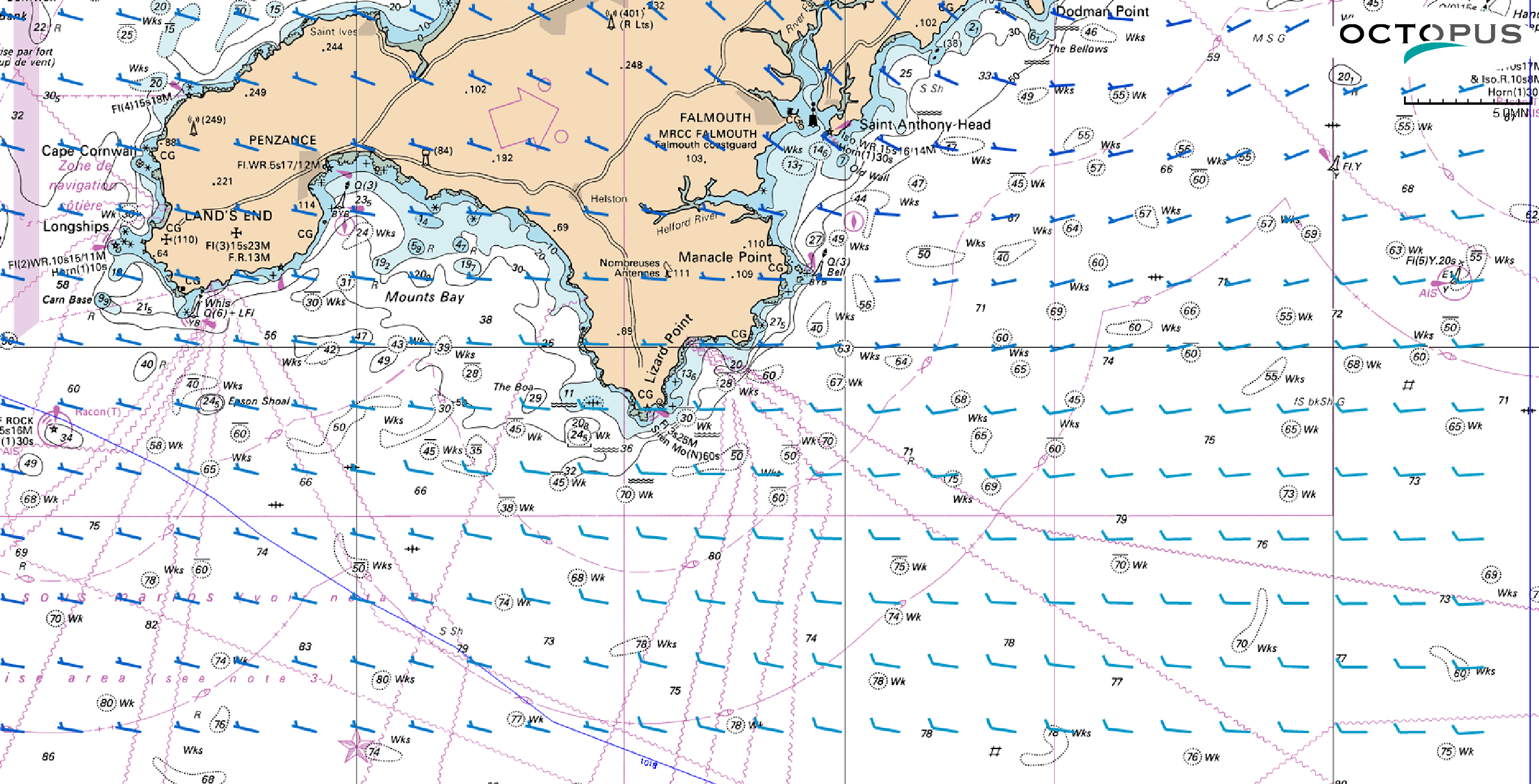
GRIB files can be downloaded online and by email up to 16 days.
They can be displayed on screen - wind, waves, atmospheric pressure, etc. - and are used for routing calculation.
Safety
For more serenity all along the navigations, Octopus provides multiple functions linked to safety such as MOB, AIS and alarms: anchor drag alarm, coast detection, MOB, AIS and customized alarms (depth, wind force and direction, etc.).
Key features
ALL FUNCTIONS
- Multi-monitor software
- Touch screen mode
- Backup/recovery of settings, files and cartography
- Automatic reload of the last environment at startup
- Automatic detection of cable instruments
- Automatic sending of waypoint data to the instruments displays
- In/out communication with WIFI device
- Instruments calibration (log, compass and windvane)
- Waypoints & routes management
- Charts compatibility: electronic vector charts (C-Map MAX) and raster charts (SnMap, unencrypted BSB)
- Automatic creation of waypoint on C-Map buoy
- Search tool on the chart for harbours, waypoints or roadbooks
- GRIB files download online and by email up to 16 days
- NOAA, Predictwind, Tidetech and Great Circle direct interface
- Global tide module
- Tide charts compatibility: SHOM, Proudman (+ high resolution), Winning Tides
- Display of weather and tide conditions on mooring
- Display of the route on the opposite tack
- Logbook (position, wind, speed and observations)
- Roadbook with possibility to add visual annotations on the chart
- Data export to Google Earth
- Superimposition of georeferenced images
- Meteogram
- Import/export of GPX files
- Sending calculated data to iPhone or iPad
- Man over board tracking with drift calculation
- Sart AIS MOB detection
- Safety alarms: MOB, AIS, coast detection, anchor drag alarm
- Custom alarms: depth, wind force and direction, wp, etc.
- AIS Anti-collision system
- Best route calculation while automatically avoiding coastlines
- Routing in 2 clicks
- Dual Routing: sailing and motoring
- Integration of tide/current data in routing calculation
- Possibility to set up min/max values in routing caluclation: wind speed/angle and waves height
- Table of legs: routing(s) summary
- Display of encountered conditions: wind, current, tide and waves
- Best route calculation according to a set time and date of arrival
- Display of day/night periods
- Routing calculation of a route with several waypoints
- Several routings calculation for comparison
- Use of several GRIB files in a routing calculation
- Routing hypothesis on time of departure/arrival, max wind/waves
- Statistics on routing: wind, points of sailing, comfort
- Use of a different polar for day and night periods
- Possibility to draw exclusion areas (Roadbook)
- Real polars calculation from navigation data
- VPP polar diagrams creation wizard
- Sails use charts management (Sailect) wizard
- Possibility to correct recorded tracks

Shipping 24h by FedEx

